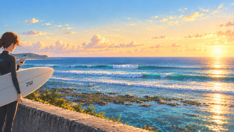
In most places, checking the surf means asking one question: are there waves? In Okinawa that is the wrong question. There are waves somewhere on this island almost every day. The real questions are where, and at what time.
Get it right and you surf clean waves with the wind at your back. Get it wrong and you drive an hour to stare at dry reef.
I live in Okinawa and surf here all year. I do not read weather charts. I use a couple of free apps and a simple routine that takes about five minutes. This is that routine.
This page contains affiliate links. Buying through them supports this blog at no extra cost to you.
The Five-Minute Check
The order matters. In Okinawa the tide comes first, because without enough water over the reef, nothing else counts.
Step 1: Tide
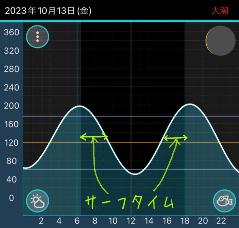
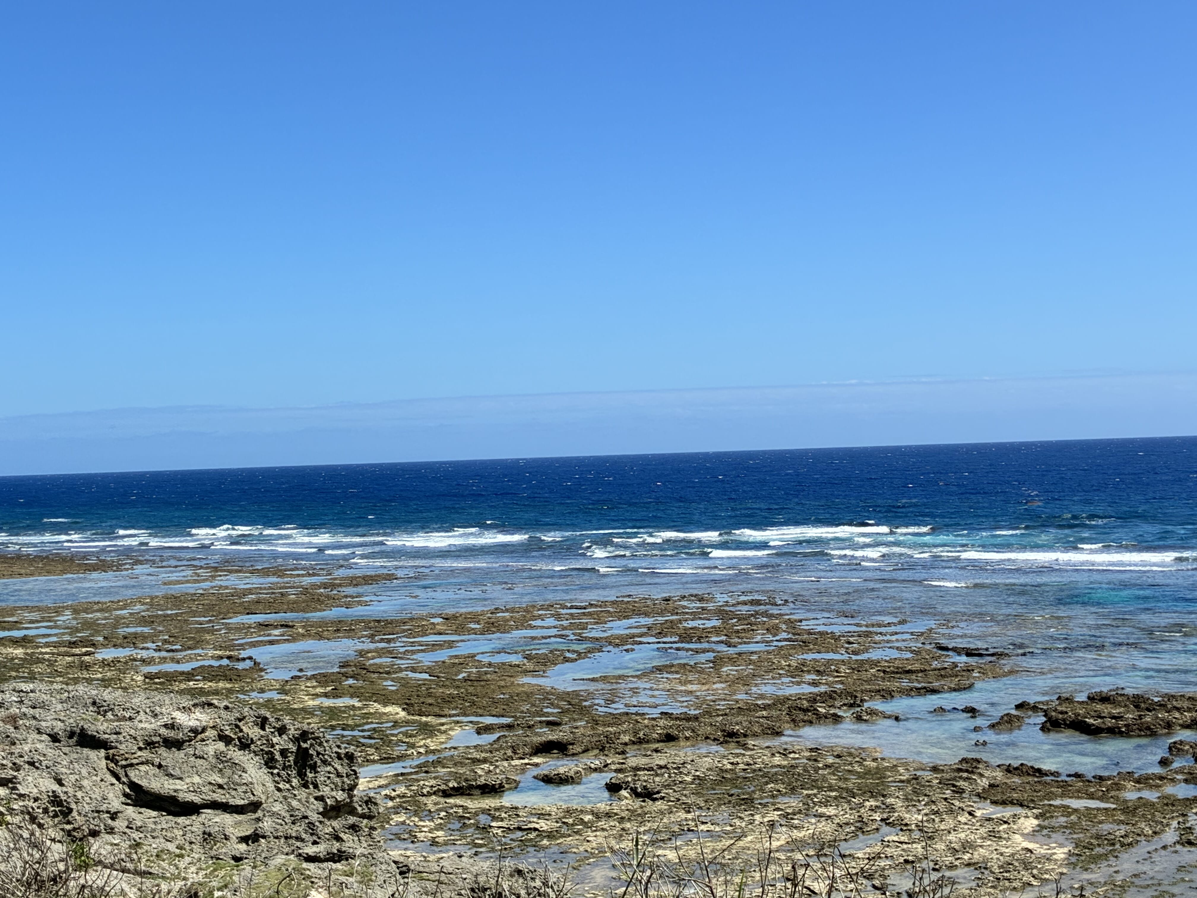
Almost every spot here breaks over shallow coral reef. At low tide the reef is out of the water.
- The window is about two hours either side of high tide.
- My rule of thumb is 120 cm or more on the Naha tide graph. Some sites show that as 1.2 m. It is roughly 4 feet.
- On the biggest tides of the month, high tide falls near sunrise and sunset. That gives you a dawn session and an evening session.
- The window moves every day. You cannot surf at the same time all week.
So the first thing I look at is not the swell. It is what time high tide is tomorrow, and whether I can be there for it.
A tide app on your phone is all you need. But I wore a tide watch for three years, and what I liked most was not the tide display. It was simply knowing the time. Without a watch, “one last wave” never ends.
If you want the tide on your wrist, the watch I would point you to is the G-SHOCK G-LIDE. It is the line Casio makes for surfers.
- It shows a tide graph, the times of high and low tide, and sunrise and sunset.
- You choose your spot in a phone app, which has about 3,300 tide points around the world.
- It is water resistant to 200 meters and built to take a beating, like every G-SHOCK.
- It is a Japanese watch, so it is easy to find here.

Casio G-SHOCK G-LIDE GBX-100-1JF, tide graph with phone link (Amazon Japan)

If you want something simpler and cheaper, the classic square G-LIDE has a tide graph and moon data, with no phone link.

Casio G-SHOCK G-LIDE GLX-5600-1JF, tide graph and moon data (Amazon Japan)
Casio describes the tide display as an estimate, so I would still check the Naha graph before a session.
Step 2: Wind
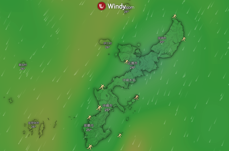
The wind decides whether the waves are clean or messy.
- Offshore wind blows from the land out to sea. It holds the wave up and keeps the surface smooth. This is what you want.
- Onshore wind blows from the sea onto the land. The waves crumble and break all over the place.
Okinawa is an island, so whichever way the wind blows, some coast is offshore. That is why I can find something to surf about six days a week. You just have to drive to the right side.
The wind here follows the seasons. These are the most common directions through the year.
One more thing. Offshore days are the best days, so they are also the most crowded. If you are still learning, a slightly onshore day with nobody around can be a better session, and it is good paddling practice.
Step 3: Swell
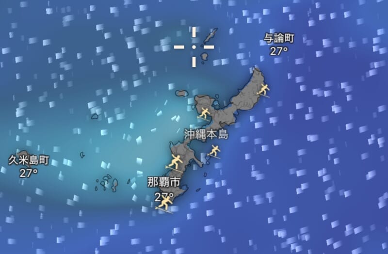
Swell is the energy that becomes waves. Forecast apps give you three numbers for it.
Two things trip people up.
- Swell height is not wave height. The number in the app is measured in open ocean. What breaks on the reef can be smaller or bigger, depending on the spot. While you are learning, look for days with a swell of about 1 meter, roughly 3 feet, or less.
- Check which scale your app is using. Surfline lets you choose how wave height is shown. Face height measures the front of the wave, which is how surfers in Japan talk about size. The traditional scale used in Hawaii measures from the back, and it gives a number about half as big. If you read one and expect the other, you are in for a surprise.
Step 4: Pick Your Coast
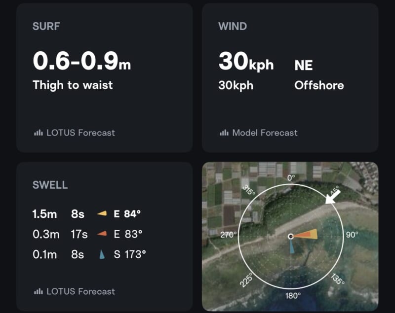
Now put the three together.
- Start with the tide. That gives you the time.
- Then the wind. That gives you the coast.
- Then the swell. That tells you whether that coast has waves, and whether they are your size.
A few examples of how it plays out.
- North wind in winter: the south coast is offshore. Komesu Coast is the usual call. I cover it in my Komesu Coast Surf Guide.
- East wind, with swell on the west coast: Sunabe Seawall is clean. It is at its best in winter and mostly flat from May to August.
- Southeast wind, with swell from the north: Maeda Point can be clean, even when Sunabe is small. It is an intermediate spot. I cover it in my Maeda Point Surf Guide.
- A typhoon far to the south: swell can show up at spots that are normally flat. Read Typhoon Swell in Okinawa before you go.
Surfable somewhere is not the same as surfable for you. On some days the only spots with waves are too big for a beginner. On others they are too small for anyone on a shortboard. That is normal.
Step 5: Look With Your Own Eyes
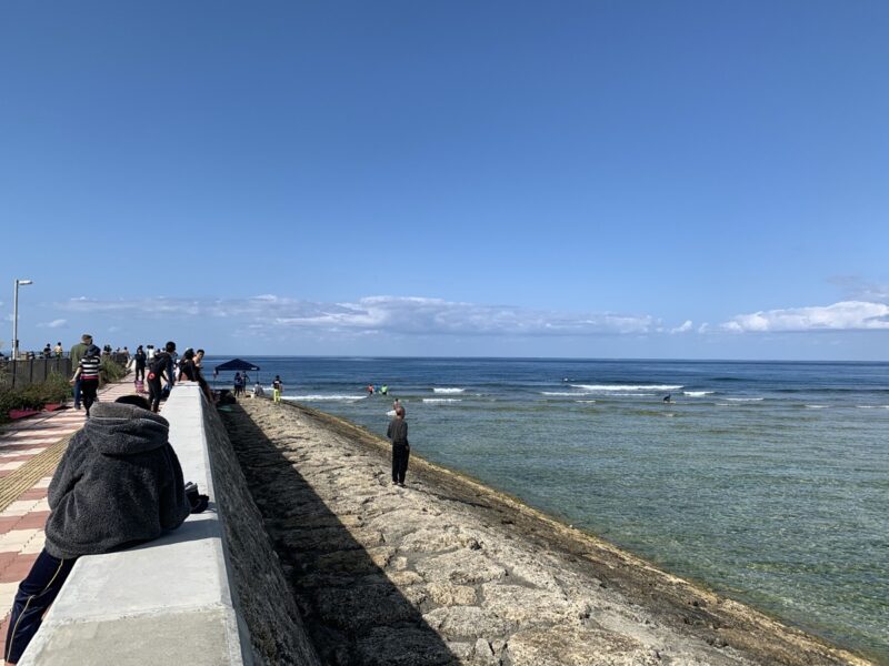
A forecast is a prediction made from numbers. The real ocean does not always agree with it, and near a typhoon the apps can be badly wrong.
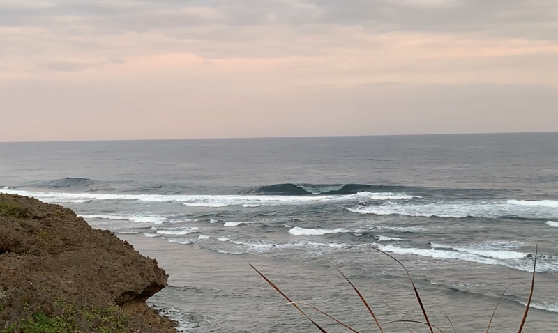
- Watch for ten minutes before you paddle out. See where the sets break and how big they really are.
- Ask a surf shop. “Is today OK for a beginner?” gets you an honest answer.
- Check Instagram. Local surf shops post photos and short reports most mornings. Even if you cannot read the Japanese, the pictures tell you a lot.
- If it looks dangerous, do not go in. There will be another day.
Wave Sizes in Japanese
Surfers in Japan do not describe waves in feet. They use parts of the body: a wave is knee high, chest high, head high. You will see these words in every local surf report, so they are worth learning.
The size is the height of the breaking wave next to a person standing in the water. Reports are written with an average Japanese build in mind, about 5 foot 7, so if you are taller, everything will look a little smaller to you.
You will also see ranges and sets. “Hara to mune, sets atama” means belly to chest high, with head-high sets.
The Tools I Use


All three are free to download, and the free versions are enough for this check. Surfline and Windy also have paid plans.
A few things that are not apps belong on the list too.
There are also Japanese surf report services with live cameras and written reports for each spot. They are in Japanese and some are paid, and I do not use them myself.
If you are in the US military, add the official sea condition to your check. It is posted separately for the west and east coasts on Kadena’s Local Weather page. It tells you whether you are allowed in the water. It does not tell you whether the surf is any good.
Summary
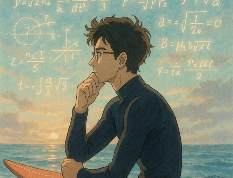
Do this check every evening for a month and it becomes automatic. You will start to know, just from the wind on your face in the morning, which coast you are driving to.
For the main spots and how to get to them, see Surfing in Okinawa: A Local’s Guide. If you are just starting, read How to Start Surfing in Okinawa.

コメント